Plants & Fungi
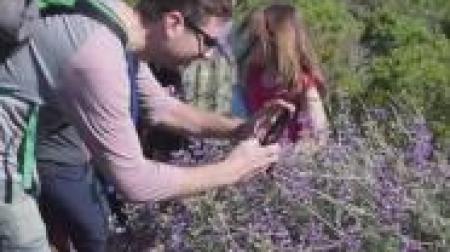
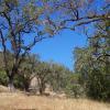
 Open-canopy Oak Woodlands | MMWD Photo
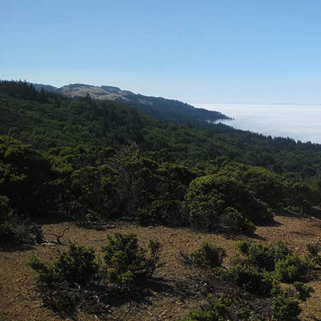
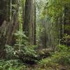
 Coast Redwood Forests | Photo by Jessica Weinberg
Coast Redwood Forests
Old-growth redwood forests are in Good condition, second-growth in Fair condition.
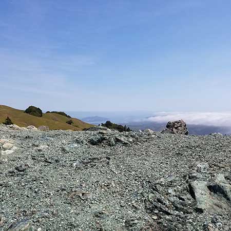
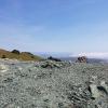
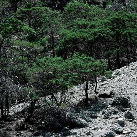 Sargent Cypress | Photo by William Follette
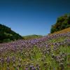
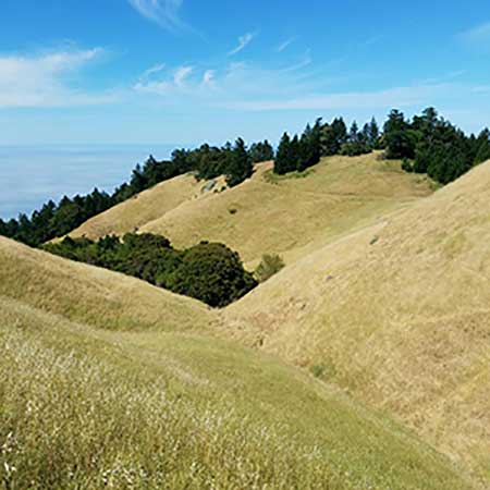 Grasslands | Photo by William Follette
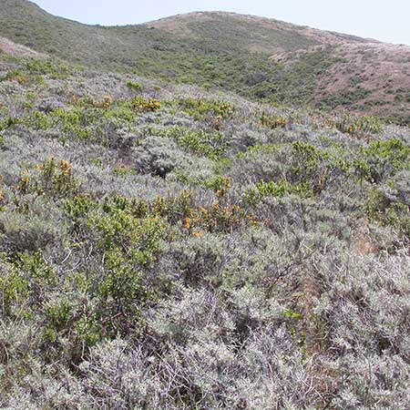
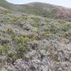
 Maritime Chaparral | Photo by Andrea Williams/MMWD
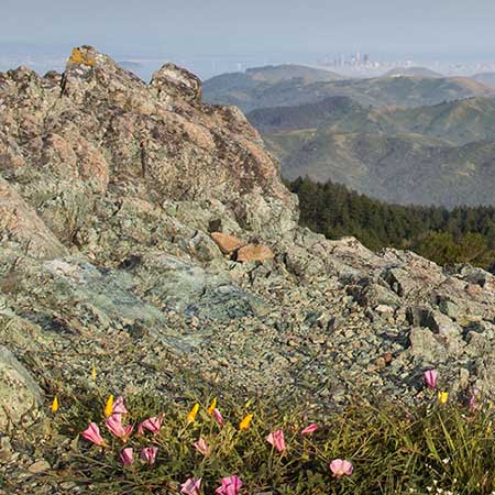
 Serpentine Barren Endemics | Photo by Rachel Kesel/One Tam
Mt. Tam’s plant communities are in varying condition, depending on a number of factors such as disease, invasive species, and changes to the frequency of wildfires.
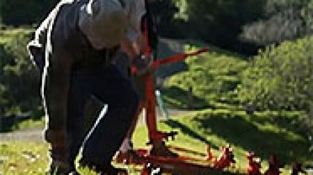
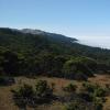
Mt. Tam’s iconic, sweeping grasslands vistas and stately open-canopy oak woodlands serve as habitat for numerous plants and animals, and hold tremendous biodiversity. Both have been affected by ecological succession as a result of alterations in natural disturbance regimes, and by the invasion of non-native plants. In addition, coast live oak woodlands are losing large trees due to Sudden Oak Death. Native grasslands are at one percent of their historic extent in the state, and Mt. Tam preserves some of the best examples of remnant grassland ecosystems in the region.
Coast redwood forests (Sequoia sempervirens) are another iconic plant community that is undergoing changes due to Sudden Oak Death, climate change, and invasive species. The One Tam area of focus has a small amount of old-growth redwood forests, but the majority are second-growth, having been logged at some point in the past.
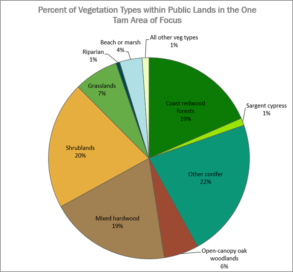 Percentage of Vegetation Types in the One Tam Area of Focus
 Sargent cypress (Cupressus sargentii), particularly the pygmy forest along San Geronimo Ridge, is a rare vegetation type that hosts several California Native Plant Society-listed and locally rare plant species. Unlike many of the other communities chosen as indicators, Sargent cypress appears to be relatively disease- and weed-free. However, these forests have been impacted by changes in the fire regime on Mt. Tam, as the trees reproduce solely from seed, and largely depend on fire to open their cones.
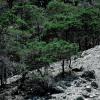
Shrubland communities on Mt. Tam are made up of drought- and heat-tolerant, hard-leaved evergreen chaparral species such as chamise and manzanita, and also by coastal scrub, which is primarily comprised of salt-adapted, evergreen coyote brush (Baccharis pilularis) shrubs. The shrublands of Mt. Tam can be used as indicators of successional processes, disturbance, and habitat quality for terrestrial birds.
Since our first health assessment in 2016, One Tam sponsored the creation of the 2018 Fine Scale Vegetation Map, which adheres to the National Vegetation Classification System and uses 2018 high-resolution lidar data (GGNPC et al, 2021). This was a huge step forward in our ability to understand the current state of the mountain’s plant communities, track changes in them over time, and coordinate monitoring and management with other land managers. It also created challenges in comparing 2016 assessments with those we made in 2022; in some cases, it was impossible to compare the two years, and new baselines were set based on the new data.
Learn more about the condition and trends of these plant communities through the photos and links at the top of the page.
| Plants & Fungi | Condition & Trend | Confidence | |
|---|---|---|---|
 |
Coast Redwood Forests |
Moderate | |
 |
Grasslands |
Low | |
 |
Maritime Chaparral |
High | |
 |
Open-canopy Oak Woodlands |
Moderate | |
 |
Sargent Cypress |
Moderate | |
 |
Serpentine Barren Endemics |
Moderate | |
 |
Shrublands |
Moderate |