
Maps & Trails

Maps & Trails

Trails & Hikes

 
More than 200 miles of trails lie within the One Tam management area and many of these trails cross federal, state, and local agency boundaries. Experience a featured trail below to see examples of One Tam's accomplishments, and where projects may occur in the future.
Closures & Alerts
Please refer to agency sources to check for closures and alerts before heading out. This page lists websites and social media accounts for One Tam partner agencies. Remember to watch for posted information about trail use, as regulations for bicycles, dogs, and horses vary by jurisdiction. 
Hours
Park hours vary depending on time of year, land agency and site. Here are some general guidelines:  
CA State Parks
Marin Water watershed hours vary through the year according to sunrise and sunset 
Marin County Parks sites vary in their hoursGGNRA/National Parks 
Camping
Learn more about Mt. Tamalpais’ five campgrounds.
Parking Fees
Some trailhead parking lots require a fee. See notes below and look for posted signs.   
  • East Peak, Bootjack, and Pantoll parking lots in Mt. Tamalpais State Park require $8 exact change. 
  • Parking within Marin Water’s Sky Oaks area (including Lake Lagunitas and Bon Tempe Lake parking lots) require a day pass which can be paid for with cash or credit card. 
  • Muir Woods requires a parking reservation as well as an entrance fee. 
Public Transit
Golden Gate Transit and the West Marin Stagecoach provide access to many of Mt. Tamalpais' trailheads. Also visit Transit and Trails to locate trailheads and get directions and public transportation information.

Featured Mt. Tam Trails

Select a hike below to learn more about what to expect along the way.

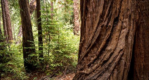
This strenuous 7-mile hike is a great way to explore the Redwood Creek watershed.
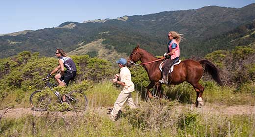
Stretching from Mill Valley to Stinson Beach, the famed Dipsea Trail is for hikers looking for a challenge.
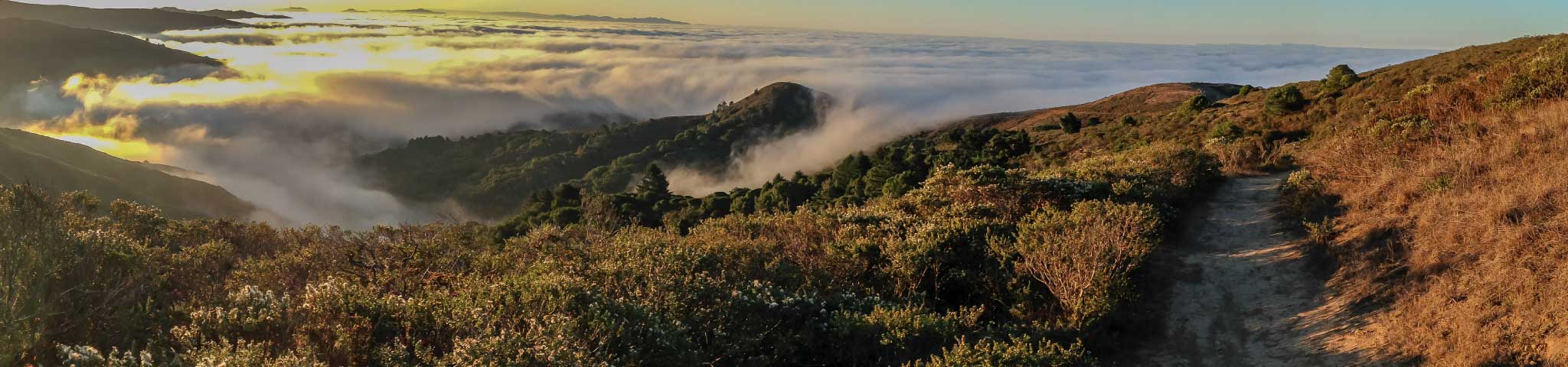
This climb up the steep slopes of Mt. Tam reveals beatiful vistas of the Bay Area and the Pacific Ocean.
The five-mile trail loops across former dairy ranches and rises 700 feet.
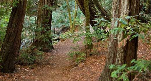
Skip the crowds at Muir Woods, and explore the Redwood Creek watershed from Mount Tamalpais State Park.
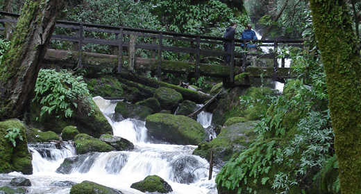
With varied terrain, terrific views, places to picnic and spectacular waterfalls, this hike is a gem.
For a look at the old Air Force station, start at the Mountain Theater overflow lot and cross Ridgecrest to start on the Rock Spring-Lagunitas Fire Road.

Maps

Encompassing 53,000 acres, the One Tam area of focus radiates from the top of Mt. Tamalpais to include all of Mt. Tamalpais State Park, Muir Woods National Monument, and Marin Water's lands. It also includes portions of the Golden Gate National Recreation Area and several Marin County parks and open space preserves, including Gary Giacomini, White’s Hill, Cascade Canyon, Bald Hill, King Mountain, Blithedale Summit, Camino Alto, Horse Hill, and Bothin Marsh. 

The unique presentation of Mt. Tamalpais below shows the mountain and its trails without borders, which is often how people (and other life!) experience it. 

Join One Tam and visit the Tam Van to receive a printed copy of this map!

Download the full map and select areas for digital printing & viewing (PDF)


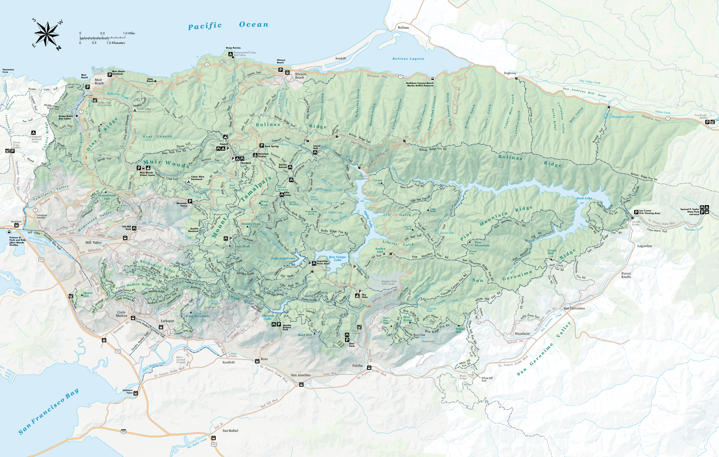
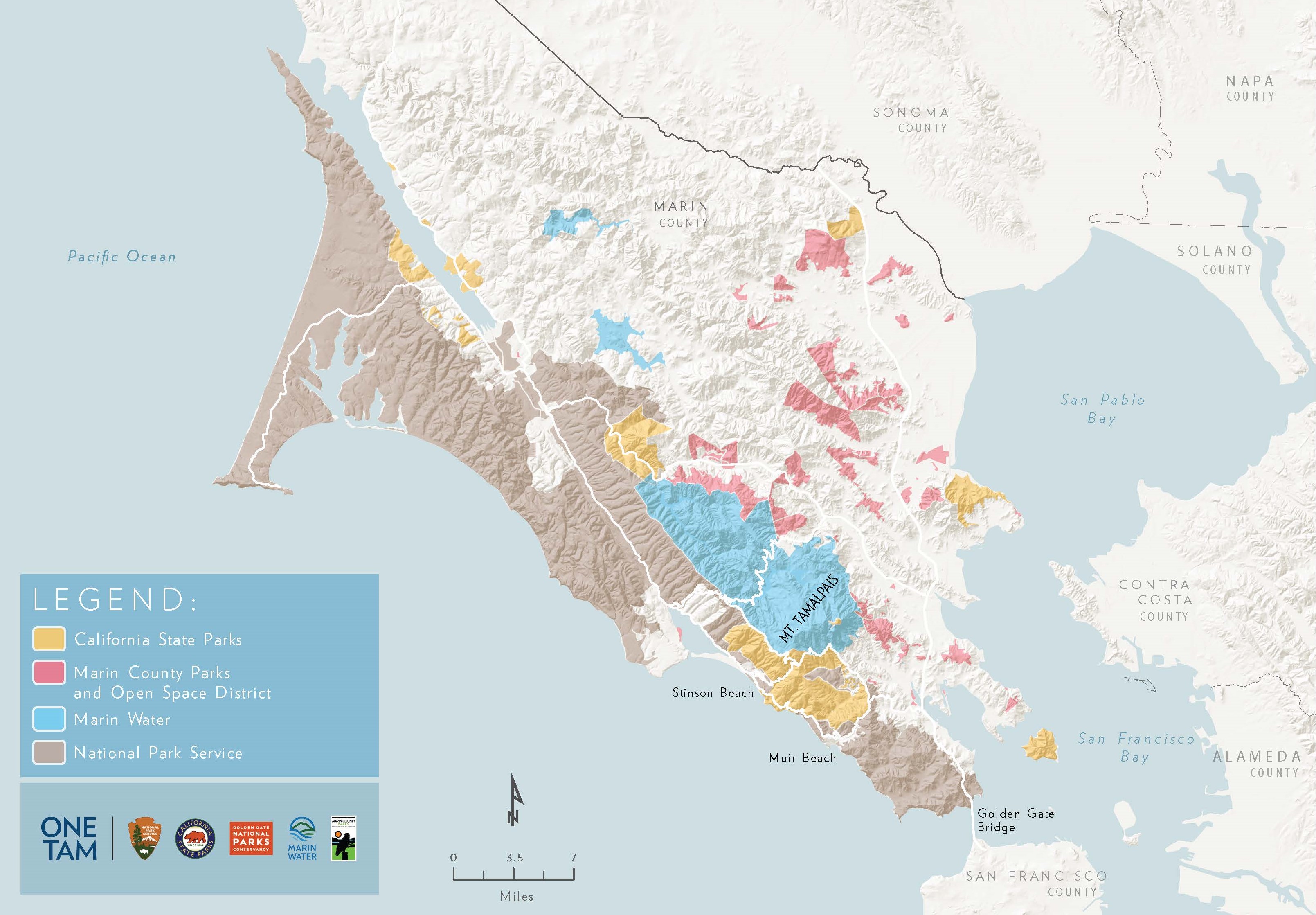
The map below reflects the extent of One Tam partner lands in Marin County.