May Flowers Hike: Grassland Wildflowers
Mt. Tamalpais State Park
Starts at Pantoll at 9am
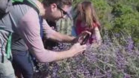
Join State Park Interpreter Hillary on the fourth in a series of hikes (same as the second -- a "take 2" for the Saturday hikers) that explores the abounding spring wildflowers in Mount Tamalpais State Park. This is the longest hike, but it will look at the popular blooms found in our grasslands, including poppies, lupine, mule's ears, larkspur, cream cups, and more. Also features stunning ocean views (weather permitting) and some woodland wildflowers.
Meeting location: Pantoll Parking Lot
Hike description: Somewhat strenuous hike of about 6.2 miles with gross elevation gain (and loss) of about 1000 feet. It starts with gentle up and down on Matt Davis and Bolinas Ridge. There will be a bit more up than down on Bolinas Ridge with a slightly steep ascent to Willow Camp Fire Road and a short, steep climb to West Ridgecrest Boulevard from there. Across the road, it will move onto Laurel Dell Fire Road and then take that to Ray Murphy Bridge and Cataract Trail to Rock Spring. From Rock Spring, the route follows Upper Old Mine Trail back to Pantoll. There are restrooms and water at the trailhead and restrooms at Rock Spring.
Additional information: Conditions will be warm if the weather is sunny and cool if it is foggy. Trails are rugged. Dress in layers and wear suitable footwear. Bring water and snacks. Poison oak and ticks are present along the trails. Pets other than service animals are not allowed on the State Park trails.